Masson Road
Title
Masson Road
Description
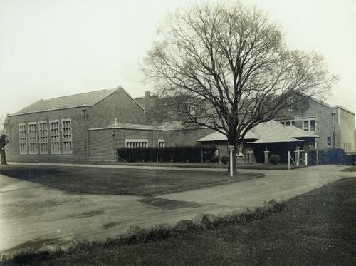
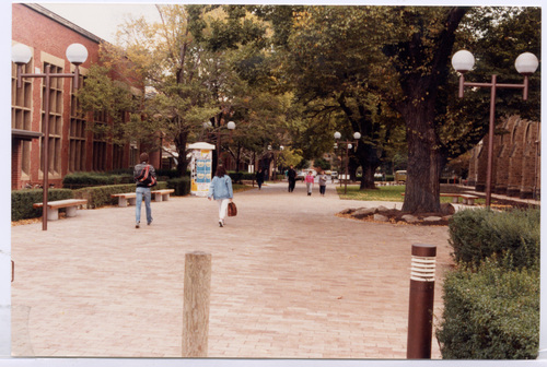
A shared path running in the east-west direction, connecting Swanston Street to the central section of the campus, Masson Road took its shape as a street during the rectangularisation of the campus in the 1930s.
The street had existed before, but was an unpaved path, connecting the buildings and the landscapes in the campus. During the construction of the New Chemistry Building and the Old Commerce building, Masson Road was straightened, and aligned with Elisabeth Murdoch Buildings, Peter Hall Building, Old Geology Building, New Chemistry Building, Old Commerce building and later the Architecture building.
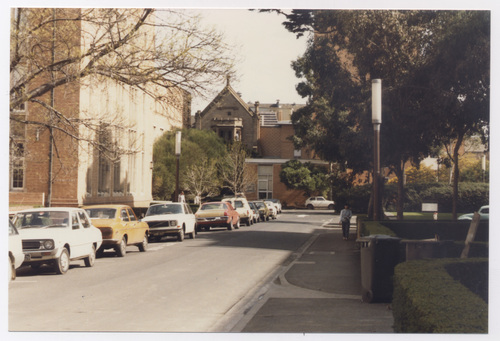
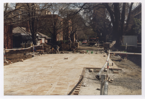
With the increase in the use of vehicles, Masson Road became a vehicular street along with the other streets in the campus and used to have parked cars along its length. After the Master Plan 1970, Masson Road was re-paved with bricks, in an attempt to recreate the shared paths as the unifying element throughout the campus.
Source
Relation
Critical Moment: Pedestrianisation
Collection
Citation
“Masson Road,” Constructing Change: the evolving Parkville campus , accessed December 6, 2025, https://omeka.cloud.unimelb.edu.au/constructing-change/items/show/39.


