Title
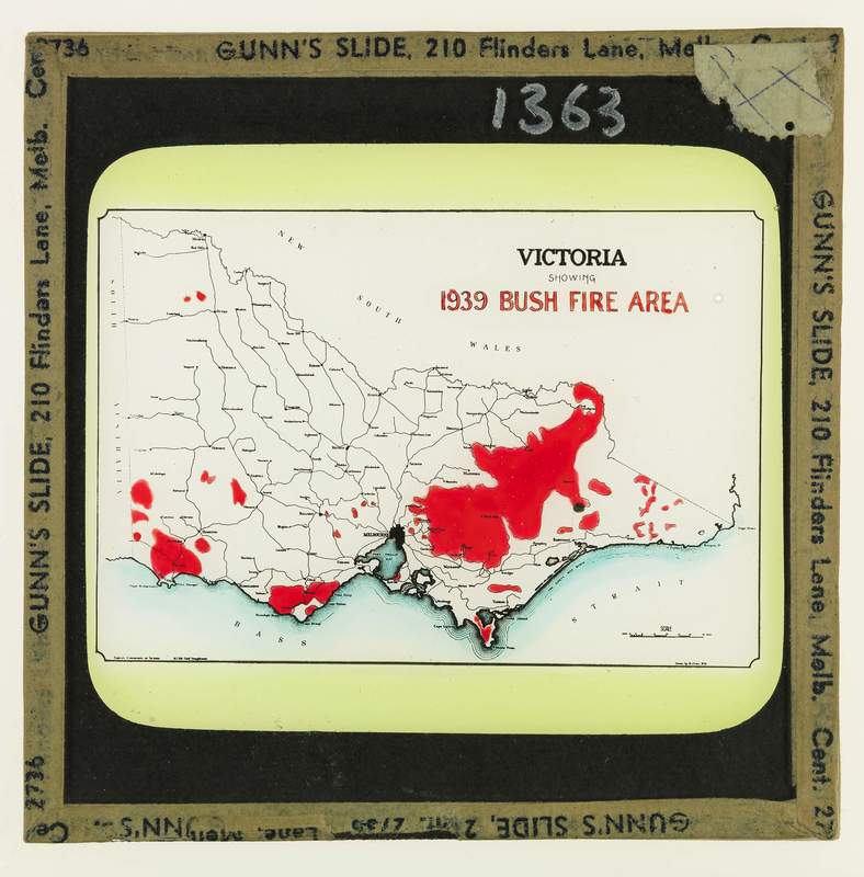
Map of Victoria showing 1939 Bushfire area (coloured slide)
Subject
Forest fires -- Victoria.
Description
Map of Victoria showing 1939 Bushfire area (coloured slide)
Creator
-
Publisher
Forests Commission, Victoria
Date
nd.
Contributor
Gunn's Slide, 210 Flinders Lane, Melbourne, cent. 2736
Rights
This image is out of copyright. It is provided for research purposes and must not be reproduced without acknowledgement of the University of Melbourne Creswick Campus Historical Collection. For information about ordering a copy of this image contact the Creswick Campus Historical Collection manager: cchc@lists.unimelb.edu.au
Format
2x2 glass slide
Type
Still image
Identifier
1363s
